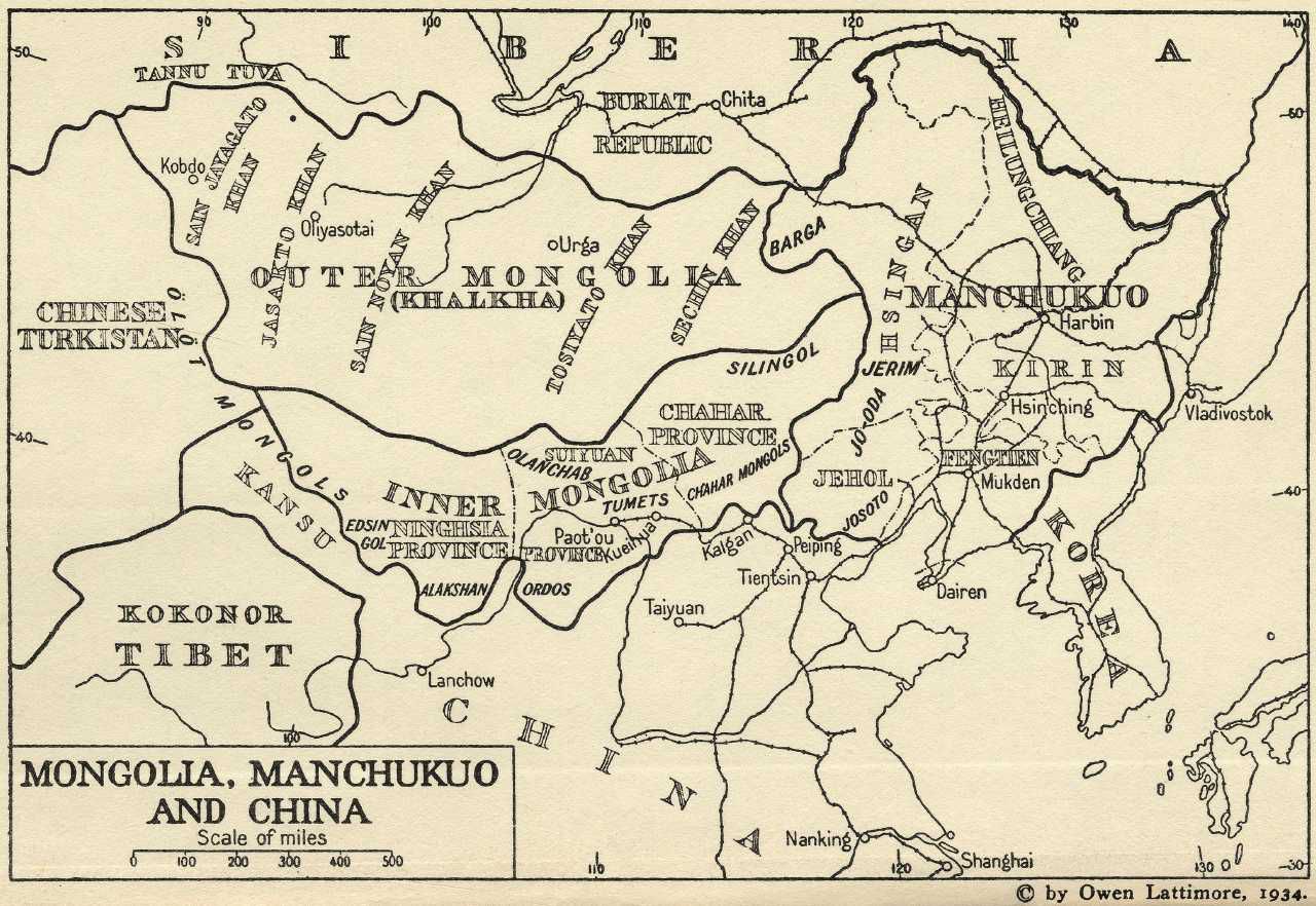
Map of Manchukuo's four provinces
Manchukuo was founded as a Japaneseruled state in 1931 and covered by and large the former Manchuria, north-east China. Manchukuo was divided into five provinces: Heilungchang, Kirin, Feng’tien, Jehol and Hsingan, the last of these being the only Mongolian province (Lattimore 1934).
