
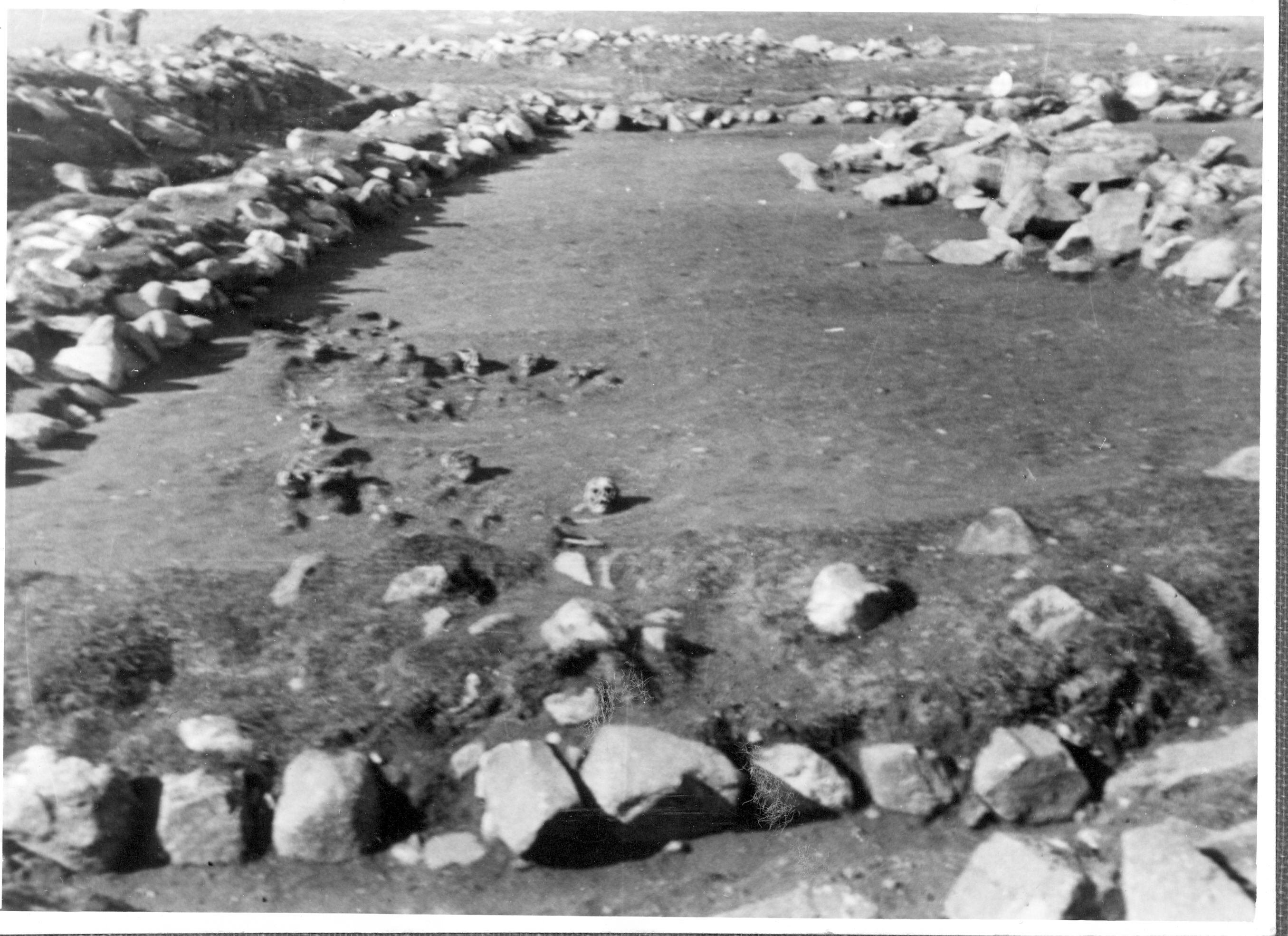
Grave på kirkegård, Narsarsuaq, Grønland
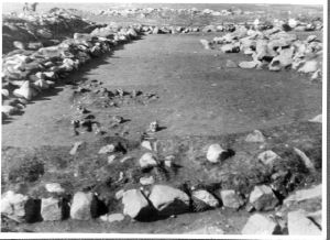
Gravfelt II, set fra øst. Ruingruppe Ø149. Nonneklostret/Narsarsuaq/Narssarssuaq. Østerbygden. NKAH: 3775.
C. L. Vebæk (1991): The Church Topography of the Eastern Settlement and the Excavation of the Benedictine Convent at Narsarsuaq in the Uunartoq Fjord. Meddelelser om Grønland, Man & Society 14, 40, fig. 52.